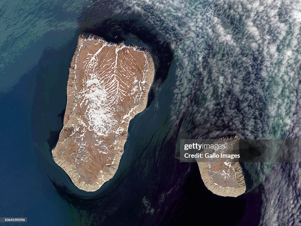
Satellite views of Bering Strait
DIOMEDE ISLANDS, BERING STRAIT - 14 JUNE 2017: (SOUTH AFRICA OUT) The Diomede Islands in the Bering Strait are separated by the International Date Line with Big Diomede Island (Russia) 21 hours ahead of Little Diomede (United States) on June 14, 2017 in Diomede Islands, Bering Strait. (Photo by Orbital Horizon/Copernicus Sentinel Data 2018/Gallo Images/Getty Images)

EINE LIZENZ KAUFEN
Wie darf ich dieses Bild verwenden?
335,00 €
EUR
Getty ImagesSatellite views of Bering Strait, Nachrichtenfoto Satellite views of Bering Strait Erstklassige Nachrichtenbilder in hoher Auflösung bei Getty ImagesProduct #:1064190596
 Satellite views of Bering Strait Erstklassige Nachrichtenbilder in hoher Auflösung bei Getty ImagesProduct #:1064190596
475€150€
Getty Images
In stockDETAILS
Einschränkungen:
Bei kommerzieller Verwendung sowie für verkaufsfördernde Zwecke kontaktieren Sie bitte Ihr lokales Büro.SOUTH AFRICA OUT
Bildnachweis:
Redaktionell #:
1064190596
Kollektion:
Gallo Images
Erstellt am:
14. Juni 2017
Hochgeladen am:
Lizenztyp:
Releaseangaben:
Kein Release verfügbar. Weitere Informationen
Quelle:
Gallo Images Editorial
Objektname:
ED_0144491
Max. Dateigröße:
1600 x 1200 px (13,55 x 10,16 cm) - 300 dpi - 2 MB
- Alaska - US-Bundesstaat,
- Groß,
- Russland,
- USA,
- Arktis,
- Astronomie,
- Beringsee,
- Bildung,
- Brücke,
- Finanzwirtschaft und Industrie,
- Fotografie,
- Geografische Lage,
- Horizontal,
- Landschaftspanorama,
- Marco Polo - Entdecker,
- Meer,
- Meerenge,
- Physische Geographie,
- Tschukotka,
- Weltraum und Astronomie,
- Weltraum-Mission,
- Wissenschaft und Technik,
- Zeit,
- Zeitzone,