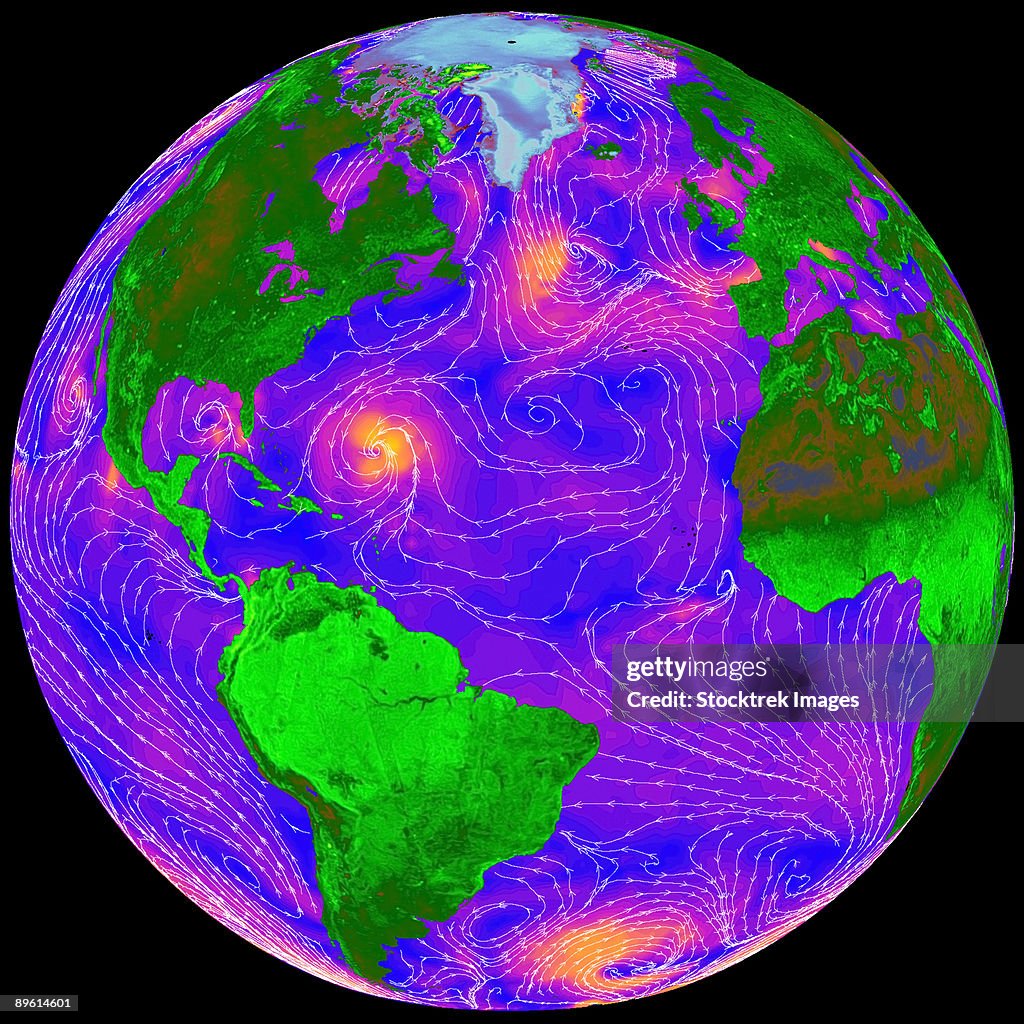
Quickscat image showing the direction and intensity of surface winds across the Atlantic Ocean. - Stock-Fotografie
Armed with data from NASA's Quick Scatterometer (Quikscat), weather forecasters can now predict hazardous weather events over the oceans as much as 6 to 12 hours earlier. The direction and intensity of surface winds across the Atlantic Ocean are shown in the Quickscat image above. Orange areas show where winds are blowing the hardest, while violet is an intermediate value, and blue shows relatively light winds. In recent years, data from the Quikscat scatterometer, developed by NASA's Jet Propulsion Laboratory (JPL), Pasadena, California, have proven useful in improving forecasts of extreme wind events, such as hurricanes, and in monitoring longer-term climatic effects such as El Nino. Quikscat's SeaWinds scatterometer instrument is a specialized microwave radar that continuously measures both the speed and direction of winds near the ocean surface in all weather conditions. Launched June 19, 1999, the Quikscat spacecraft flies at an altitude of 800 kilometers (497 miles), circling the Earth from pole to pole every 100 minutes. The sensor takes approximately 400,000 measurements over 93 percent of Earth's surface every day.

Sichern Sie sich dieses Bild in einem von vielen Rahmen auf Photos.com.
EINE LIZENZ KAUFEN
Alle Lizenzen für lizenzfreie Inhalte beinhalten weltweite Nutzungsrechte, umfangreichen Schutz und eine einfache Preisgestaltung mit Mengenrabatten
335,00 €
EUR
Getty ImagesQuickscat Image Showing The Direction And Intensity Of Surface Winds Across The Atlantic Ocean, Stock-Foto Laden Sie authentische Premium-Fotos zum Thema Quickscat image showing the direction and intensity of surface winds across the Atlantic Ocean. von Getty Images herunter. Entdecken Sie ähnliche hochauflösende Fotos in unserem umfangreichen Bildkatalog.Product #:89614601
 Laden Sie authentische Premium-Fotos zum Thema Quickscat image showing the direction and intensity of surface winds across the Atlantic Ocean. von Getty Images herunter. Entdecken Sie ähnliche hochauflösende Fotos in unserem umfangreichen Bildkatalog.Product #:89614601
335€50€
Getty Images
In stockDETAILS
Bildnachweis:
Creative #:
89614601
Lizenztyp:
Kollektion:
Stocktrek Images
Max. Dateigröße:
3192 x 3192 px (27,03 x 27,03 cm) - 300 dpi - 7 MB
Hochgeladen am:
Releaseangaben:
Keine Freigaben erforderlich